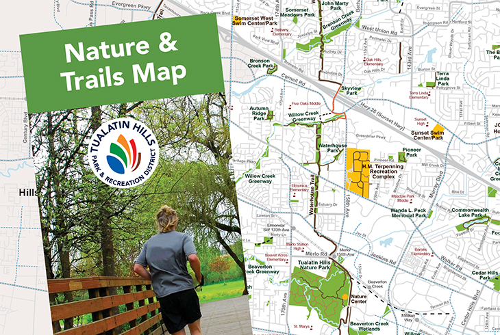
New THPRD Nature & Trails Map Now Available

The Tualatin Hills Park & Recreation District has updated its popular nature and trails map to help users find parks and natural areas and walk, run, ride and roll across the 50-square-mile district.
The handy foldout features a large map of THPRD’s entire service area. It displays the district’s growing trails network by surface type and shows bike lanes, rail lines, parks, natural areas and greenways, and park district facilities.
It also includes information on nature classes, wildlife watching, nature play sites, THPRD dog parks, and much more.
Printed copies are available – for free – at all THPRD centers and the Administration Office, Beaverton-area libraries, REI Tanasbourne, the Beaverton Area Chamber of Commerce, and the Washington County Visitors Association.
Users will also find the map at thprd.org/trailsmap. For more information, call the Tualatin Hills Nature Center at 503-629-6350.
About THPRD
Formed in 1955, THPRD is the largest special park district in Oregon, spanning 50 square miles and serving about 240,000 residents in the greater Beaverton area. The district provides year-round recreational opportunities for people of all ages and abilities. Offerings include thousands of widely diverse classes, 95 park sites with active recreational amenities, nearly 70 miles of trails, eight swim centers, six recreation centers, and about 1,500 acres of natural areas. For more information, visit www.thprd.org or call 503-645-6433.
| Contact: Bob Wayt Director – Communications 503/614-1218 (direct) 503/686-5134 (cell) |
Date: April 10, 2018 FOR IMMEDIATE RELEASE Click here for official release (PDF). |

